McKownville Improvement Association
- Neighborhood property
information
About Meetings
News
Projects
Links
Neighborhood
Local history
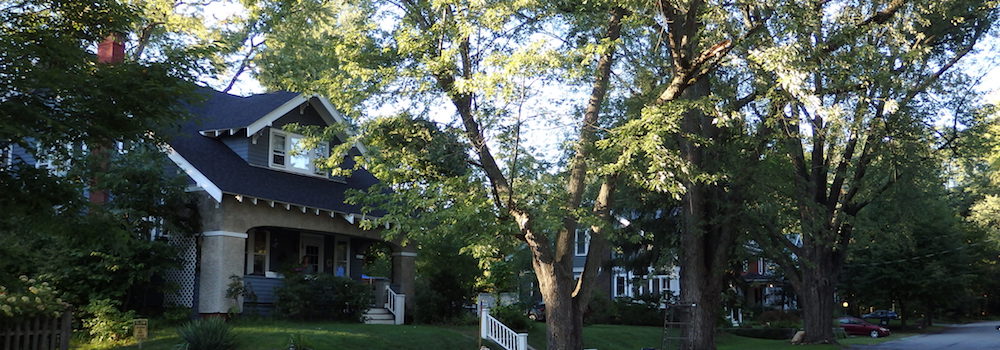
McKownville is a residential neighborhood in the eastern part of the
Town of Guilderland, now containing about 915 single family homes,
including a few rental properties mostly duplexes and converted
houses with four or fewer units. Some small business and medical
office properties, and several larger commercial properties are
located on the south side of Western Avenue, with some residential
properties still resisting complete conversion of this side to
business use. The large shopping center and office development of
Stuyvesant Plaza and Executive Park is found on the north side of
Western Avenue west of the Fuller Road intersection. Part of the
main campus of the University at Albany, SUNY occupies an area of
McKownville located east of Fuller Road, and north of the
residential area which extends to near the town boundary with the
City of Albany. About 87% of the total area of property in
McKownville is used for non-commercial purposes.
Links in bold are to pdf documents on external websites;
some of these are large files.
Information on the residential properties of McKownville
can be found in documents available from the Assessor's Office of the Town of Guilderland:
Guilderland house sales 2014-2020
2017/07-2021/02
2019/07-2022/02
2020/07-2023/02
2022/07-2024/02
2022/07-2025/02
McKownville house sales
2014-2025 extracted from these documents - sorted by street
address; or by date
of sale
McKownville house sales
2014-2024 with sales added (from other online realty information)
that are not included in Assessor's lists [by
street; by
date]
residential inventory 2025
tax rolls - 2025
final 2024
final 2023
final 2022
final 2021
final 2020 final 2019 final
Zoning and Planning information
zoning map planning board zoning map
interactive town
property map
digital property tax lot maps [Albany County];
index
map for Town of Guilderland E part
McKownville covered by maps (2024): 52.04, 52.15, 52.16, 52.19, 52.20, 63.00, 63.07, 63.08, 63.12
Planning and Zoning Studies
2024 Comprehensive Plan [October
2024 Draft]
2010
McKownville Drainage Study [link
to file set on town website]
2007 - extracts relevant to McKownville in Harriman
Campus Transportation linkage study
2006
McKownville Zoning Committee Report (Western Avenue Corridor)
[transmittal
letter] Appendices [A]
[B]
[C]
[D]
[E]
2005 - extracts relevant to McKownville in SUNY Albany Purple
Path proposal
2003-5
Guilderland Pathways Committee reports
2004
NY Thruway Albany Corridor Study
2003
McKownville Corridor Study separate figures: [1-1 Sidewalks] [2-1 Trails]
[3-1
Transit Stops] [Intersections: 4-2
4-5
4-7
4-8
4-9
4-10]
[link
on Town website]
2000 Town of Guilderland Comprehensive Plan
[Table of Contents]
[Executive summary]
[McKownville
recommendations section]
[link
to complete file set on town website]
Older maps and documents for McKownville
Guilderland zoning maps, Mckownville and adjacent
area: 1971;
1996; 2018
original
lot maps for some McKownville developments
maps of
McKownville Fire, Water, Sewer, and Lighting Districts (1927-1969)
documents
and maps for the McKownville Water District property and easements
to Stuyvesant Plaza
The
McKownville Reservoir and Park - including documents and maps
Ownership
history of the Country Club Highlands alleys
Ownership
history of the LaGrange lots adjacent to Country Club Highlands,
and their access roadway/alley
deeds and maps
for the power transmission line, the streets, and some adjacent
lots in Garden Park Estates and vicinity, west of Fuller Road
McKownville geology and
groundwater


